|
|
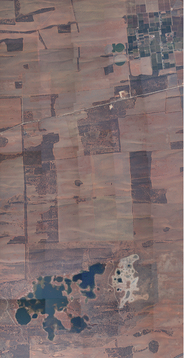
Mosaic of aerial photos (NOT orthocorrected)
|
Dataset description:
The aerial photos for the Waikerie area are provided as a sequence of images in jpeg format.
In order to obtain position information for each imag, use this Oxiexplorer tool
(license name: Jeffrey Walker; license code: 000899445048) and follow on-screen instructions to creat Oziexplorer
Waypoints files.
Downloads:
NOTE: this images are not orthocorrected
- Aerial photo files for November 03/06/2005: Download (0.3Gb)
- Aerial photo files for November 07/06/2005: Download (0.3Gb)
- Download OziExplorer here (license name: *University of Melbourne*; Key Code: 557TG-WREUY-N8L34)
|
|
Created: June 2007
Last Modified: June 2007
Maintainer: Rocco Panciera, rocco@civenv.unimelb.edu.au
This page, its contents and style, are the responsibility of the author and do not represent the views, policies or opinions of The University of Melbourne.